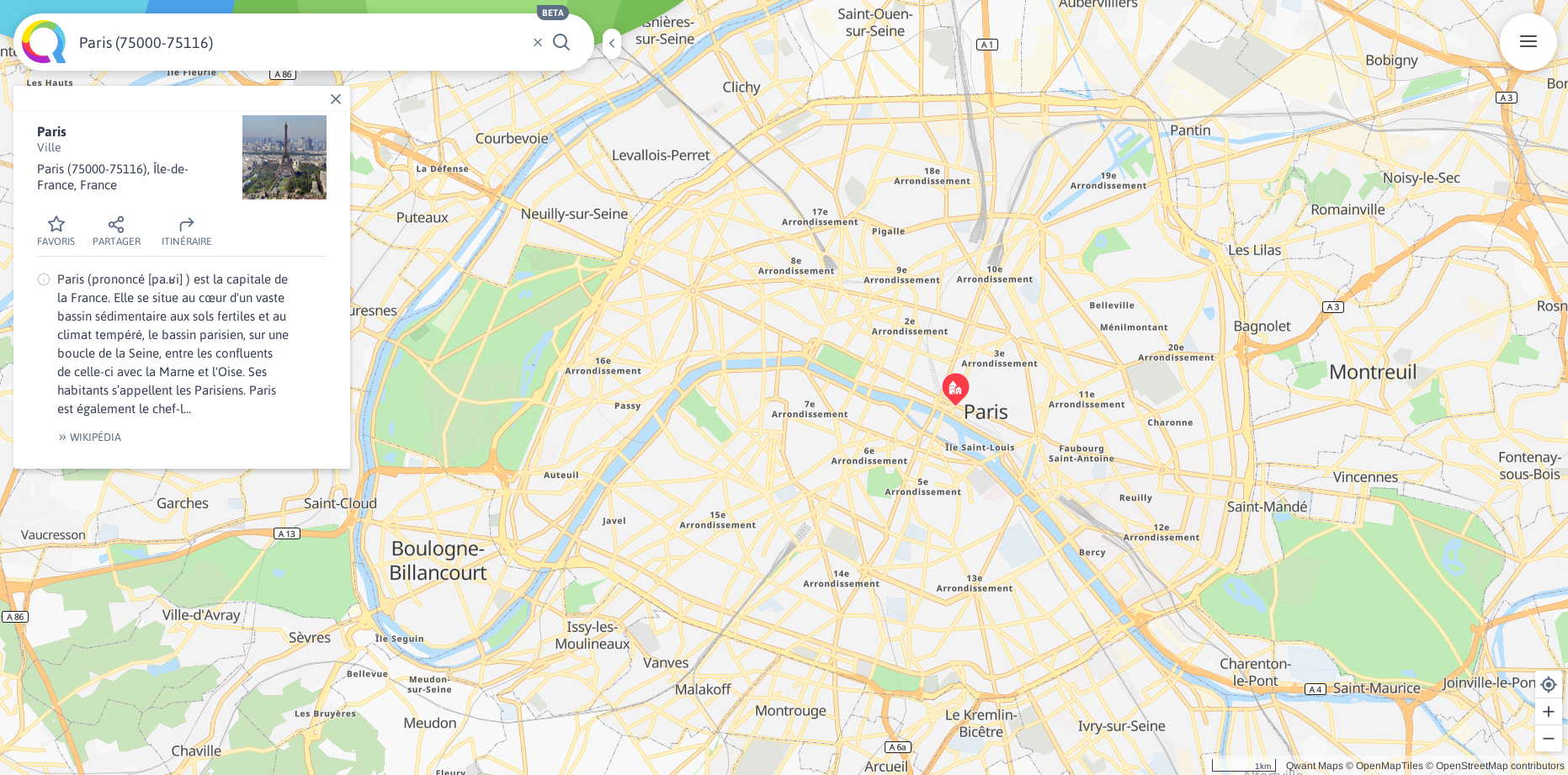
Cartographic applications are now a ubiquitous and indispensable component of our lives:
They provide the user with a help and a set of services that we are now all used to. Unfortunately, the quality of these services depends indirectly on personal data that is often, without the user’s knowledge, vampirized and exploited, in disregard of privacy. Qwant Maps was born from this observation and proposes to give users exclusive control of their geolocated data.
In this perspective, the choice to make of OpenStreetMap our main source of data quickly became obvious: in line with Qwant Maps’ DNA, OpenStreetMap is above all a formidable free and collaborative geographic database supported today by more than a million contributors worldwide. Any volunteer user can freely participate and contribute to the project by enriching the database with new places.
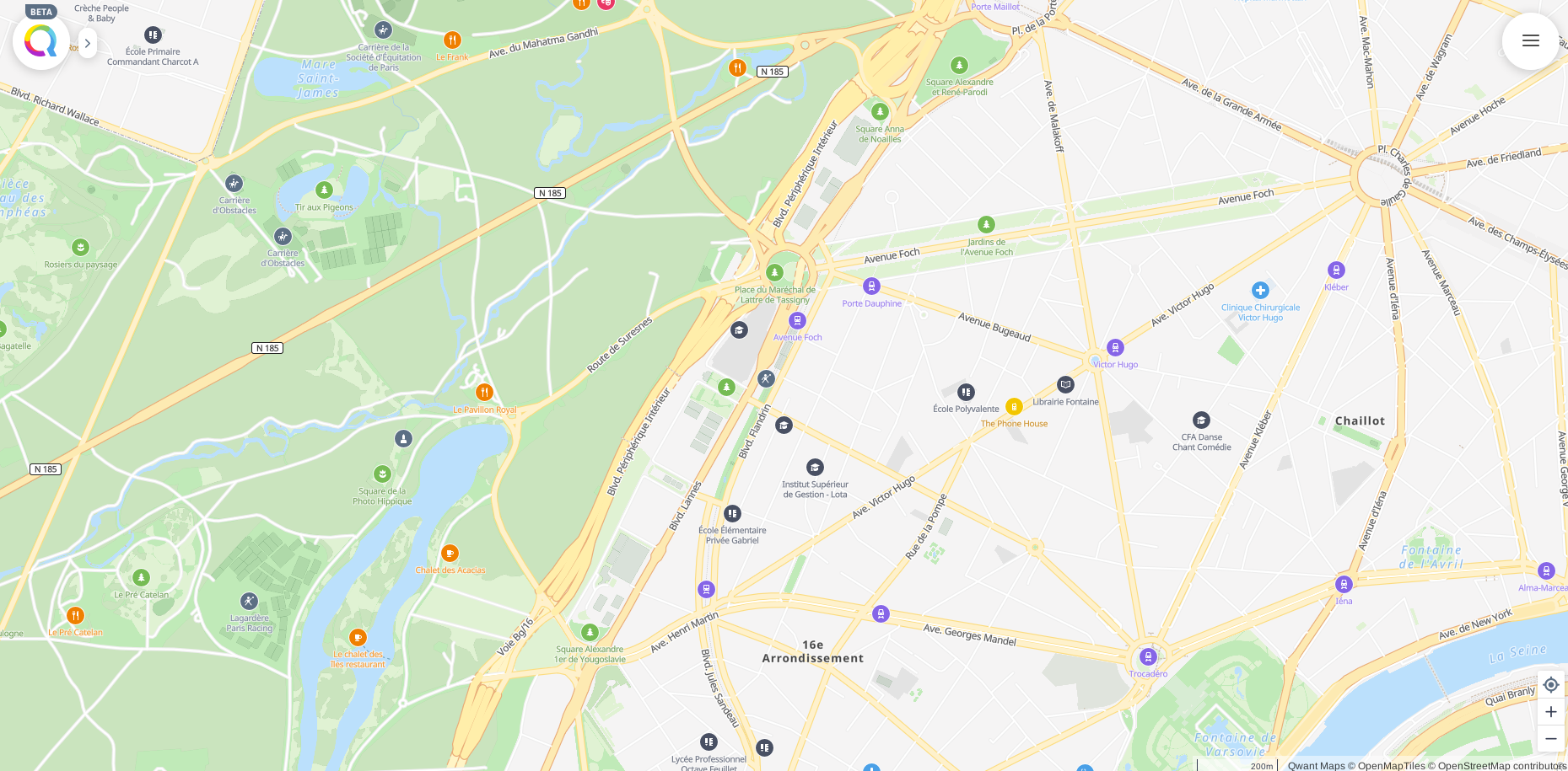
Historically, a minimal software ecosystem has gradually been built around OpenStreetMap in order to offer the mapping services essential to the use of the map.
But this ecosystem from diverse backgrounds has not been coordinated to address the general public. An unfamiliar user of the project might have difficulty using it on a daily basis. In particular, the lack of a geoparsing engine (entering an address or place in natural language and understanding how geographically it may be), and efficient autocompletion made navigation and exploration on the map almost impossible.
To overcome these shortcomings and to meet the needs of as many people as possible, Qwant Maps has developed – or participated in the development – its own software components, all of which are part of a desire to create a virtuous synergy between Qwant Maps and OpenStreetMap. Thus Qwant Maps highlights OpenStreetMap data by generating its own vector tiles, its own basemap, its web APIs for highlighting POIs and also by feeding its geoparsing web service as well as its online applications. All components developed by Qwant Maps are open source so that users can directly contribute to improving their experience with the map.
Users thus have two levers of action: contribute to the code of Qwant Maps or contribute to the enrichment of the data on OpenStreetMap.
The functional stack set up by Qwant Maps is composed, among others, of the following open source software bricks:
, a web API in python that draws on different data sources (OpenStreetMap, Wikipedia …) to offer the user the most useful information. Idunn is responsible for contextualizing data related to points of interest in a consistent repository.
For example, the opening hours of points of interest from the data entered in OpenStreetMap are managed by Idunn.